Some countries are recognized by a single landmark. France by the Eiffel Tower. Australia by the Sydney Opera House. But when most people picture New Zealand, they think of something entirely different.
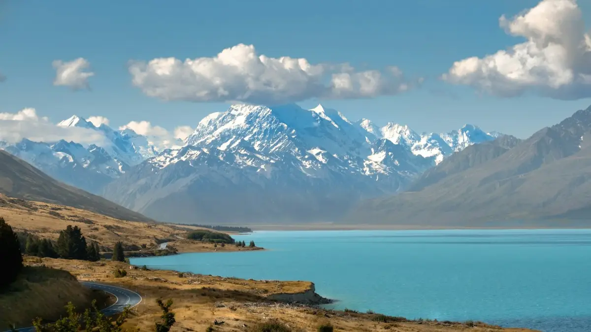
Not a city. Not a famous building. They think of a feeling. A turquoise lake beneath snow-covered mountains. A road disappearing into the Southern Alps. A small stone church by the water. Golden hills. Empty highways stretching toward the horizon, where nature seems to take over completely.
For decades, these images have appeared on postcards, calendars, guidebooks, and tourism campaigns. Repeated so often, they have become the visual identity of an entire country.
It’s easy to assume these landscapes are scattered across New Zealand and that seeing them all would require driving from one end of the country to the other.
But that’s not actually the case.
Most of These Views Lie Along a Single Route
The biggest surprise comes when you start marking the locations of New Zealand’s most iconic photographs on a map.
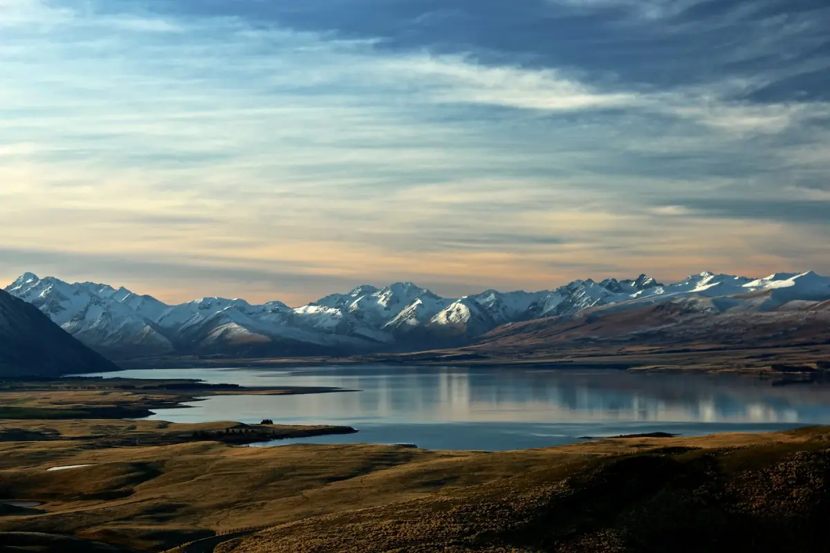
Rather than being spread randomly across the country, most of them line up along a single journey through the South Island. Lake Tekapo, Lake Pukaki, Aoraki / Mount Cook National Park, the Mackenzie Basin, Lindis Pass, Wānaka, and the road to Glenorchy follow one another so naturally that it almost feels as if the landscape itself was designed as a single route.
That’s why so many travelers experience a strange sense of familiarity. One famous view appears, and before you’ve fully taken it in, the next one arrives. You find yourself thinking, I’ve seen this somewhere before, only to realize an hour later that you’re looking at yet another landscape you’ve recognized for years without ever knowing where it was.
These aren’t dozens of separate destinations. They’re chapters of the same journey.
What Creates the Image of New Zealand?
One of the most fascinating discoveries is that the country’s best-known photographs rarely show the same place. Instead, they repeat the same collection of landscapes.
First come the glacial lakes. Their water is such an intense shade of turquoise that it almost looks edited. Then the Southern Alps rise behind them, forming the dramatic backdrop that defines much of the South Island.
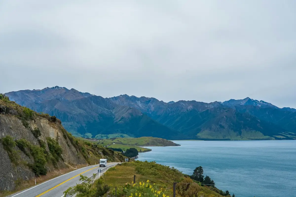
Soon the roads become part of the scenery. Long, straight highways seem to disappear directly into the mountains, creating some of the country’s most recognizable views.
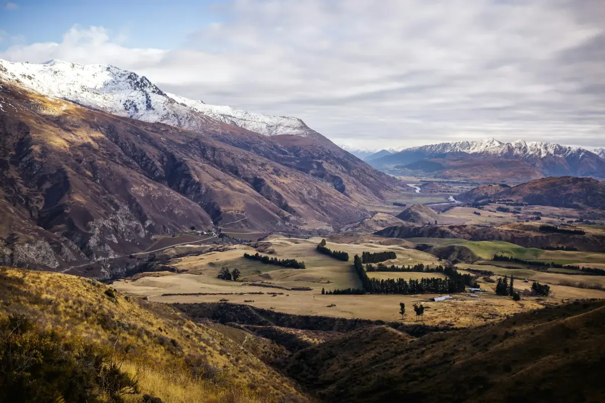
Add wide open valleys, golden grasslands, solitary trees, small lakeside churches, and an almost complete absence of urban development, and the result is a landscape that feels vast, peaceful, and remarkably untouched.
Perhaps that’s why these photographs are instantly recognizable. They aren’t famous because of a single landmark. They’re famous because of a combination of landscapes found almost nowhere else.
Why Are the World’s Most Famous Photos Taken Here?
It’s tempting to think this part of the South Island simply happens to be exceptionally beautiful. But beauty alone doesn’t explain it.
Several different landscapes come together here in an unusually harmonious way. Ancient glaciers carved out lakes of extraordinary color. The Southern Alps provide a dramatic backdrop in almost every direction. Broad valleys create long, uninterrupted views where roads seem to disappear into the distance. And because there are so few large towns, the sense of openness remains almost untouched.
Each of these elements exists somewhere else in the world.
Here, they all exist together.
That’s why many of the country’s most famous photographs don’t require extraordinary photography skills. Sometimes all you have to do is pull over at the side of the road, and the landscape in front of you already looks like the image on a postcard.
What About Milford Sound?
Of course, New Zealand is far more diverse than this single region.
There is Milford Sound with its towering fjords. The Franz Josef and Fox glaciers on the rugged West Coast. The volcanoes of the North Island, the geothermal landscapes around Rotorua, the rolling green hills of Waikato, and countless other places that are worth traveling across the world to experience.
But they tell a different story.
Ask someone to close their eyes and picture New Zealand, and chances are they won’t imagine a fjord or a geyser. They’ll picture turquoise lakes, snow-capped mountains, and an empty road stretching toward the horizon.
That image has become the country’s visual signature.
And almost all of it can be found along a single route across the South Island.
If You Want to See That New Zealand
Sometimes a journey begins not with a map, but with a photograph you simply can’t forget.
If those iconic images were what first inspired you to dream about New Zealand, there’s good news: you don’t have to search the entire country to find them. Most of its most recognizable landscapes come together along one remarkable road trip that can be completed in just a few days.
In the next article, we’ll follow that route step by step—where to stop, how to connect each destination, and how to turn a collection of famous photographs into one unforgettable journey.