Issyk-Kul has a feature that is difficult to notice on a map.
The lake seems to be the center of the region only before the journey begins.
Then Grigoriev Gorge, Semenov Gorge, Jety-Oguz, Barskoon, and Skazka Canyon start appearing nearby.
Each of these places is close enough to make a detour for a few hours.
As a result, a route around Issyk-Kul gradually becomes more than a series of stops by the water. More and more roads begin to lead away from the shoreline.
The Lake That Constantly Leads You Further
Issyk-Kul occupies much of the horizon along almost the entire road that circles it.
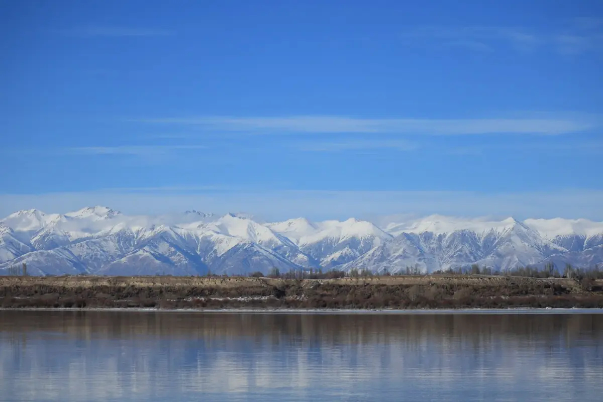
Sometimes the opposite shore is clearly visible. At other times, it nearly disappears into the haze.
As you travel, it is not only the view of the lake that changes. Villages, stretches of shoreline, roads, and the distances between them change as well.
On a map, the route around Issyk-Kul looks fairly straightforward. In reality, more and more stops, detours, and places worth spending a few extra hours gradually appear around the lake.
Because of this, travel in the region is usually built not around a single destination, but around constant movement between the shoreline and the surrounding landscapes.
The Northern Shore
The northern shore is considered the most developed part of Issyk-Kul.
This is where Cholpon-Ata and several other lakeside towns are located. The road often runs close to the water, while enough open space remains between settlements for the lake to stay constantly in view.
Many journeys around the region begin here.
Before long, however, the route leaves the shoreline behind.
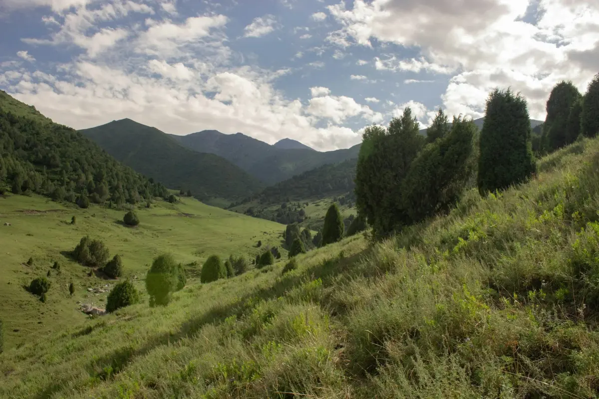
Grigoriev Gorge and Semenov Gorge are located not far from the lake. A few kilometers of road completely change the landscape. Water gives way to forested slopes, mountain rivers, and broad valleys between mountain ridges.
By evening, the road returns to the lake once again.
The Southern Shore
The southern shore looks different.
Settlements become less frequent, distances between them grow longer, and the road itself feels quieter.
Long stretches of coastline appear more often here, where the view includes the lake, open plains, and distant mountain ranges at the same time.
A journey along the southern shore usually takes longer than it appears on a map.
Not because of the distances.
Because of the number of stops along the way.
Jety-Oguz
The drive from the shore of Issyk-Kul to the Jety-Oguz Valley is relatively short.
After leaving the main road, red rock formations begin to appear, making the area instantly recognizable even in photographs.
The rocks, however, are only part of the landscape.
Around them lies a broad valley crossed by roads and hiking trails.
This is one of the places where it becomes especially clear how quickly lakeside scenery around Issyk-Kul can give way to mountain landscapes.
Barskoon
The road into Barskoon gradually climbs higher into the mountains.
As the road rises, the landscape changes with it.
More trees appear, the sound of the river becomes constant, and eventually waterfalls begin to emerge along the route.
The higher the road climbs, the farther away Issyk-Kul remains.
A few hours later, it can be difficult to believe that the morning began beside the lake.
Skazka Canyon
Skazka Canyon lies close to the southern shore of Issyk-Kul.
Only minutes earlier, the road followed the water.
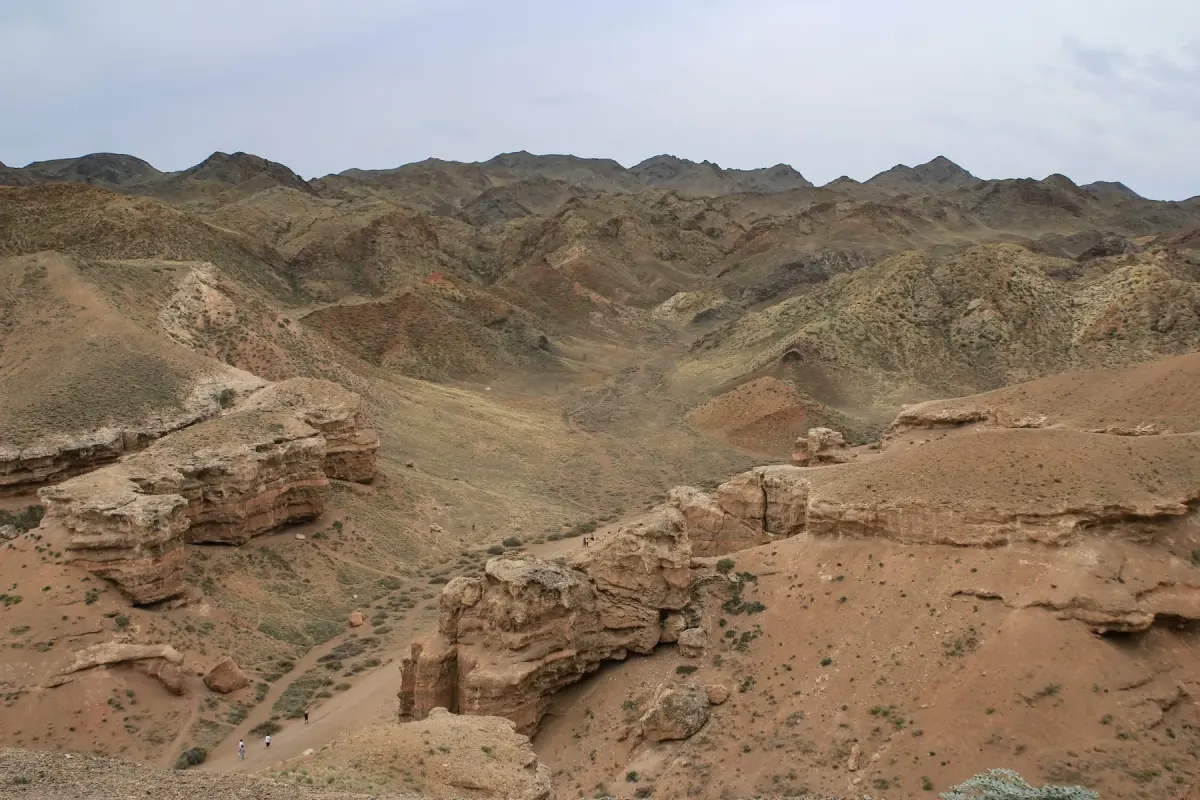
Now the landscape is filled with red and yellow rock formations of unusual shapes.
Some sections resemble walls, towers, and ridges formed by wind and time rather than by people.
Against the backdrop of the lake, the contrast feels especially striking.
The combination of water and dry red rock makes this one of the most distinctive stops around Issyk-Kul.
The Road Around the Lake
After several days of travel, individual attractions begin to merge into a single route.
The lake remains nearby for much of the journey.
Yet between stops there are always more roads, valleys, gorges, and small villages.
Sometimes the route follows the shoreline.
Sometimes it heads deep into the mountains.
After a while, it becomes difficult to separate the trip into individual parts. The lake, the gorges, the canyons, and the roads begin to feel like one region.
How Much Time to Allow for Issyk-Kul
One or two days are enough to see the shoreline and the nearest surroundings.
A full circuit of the lake, however, requires more time.
Even without long hikes or demanding climbs, several days are easily filled with drives and stops alone.
Grigoriev Gorge, Semenov Gorge, Jety-Oguz, Barskoon, and Skazka Canyon may appear relatively close together on a map, but each deserves time of its own.
For that reason, Issyk-Kul is often best approached not as a single destination, but as an entire region to explore.
Suggested Route
Arrive at Issyk-Kul, settle in near the lake, and spend the day by the water. No long drives today. Time for walks, rest, and a first introduction to the region.
Head into the mountains in the morning. Explore both gorges, spend the day among forested slopes and mountain rivers, and return to the lake in the evening.
Travel slowly along the northern shore. Stop in lakeside towns, walk along the waterfront, and continue exploring the region.
Today the road itself becomes the main part of the journey. Travel to the southern shore without rushing, stopping whenever a place invites a longer pause.
Spend the day in the Jety-Oguz Valley. Explore the surroundings, walk through the valley, and remain there until evening.
Travel to Barskoon Gorge. The day is dedicated to the mountain road, walks to the waterfalls, and exploring the surrounding area.
A full day in Skazka Canyon. Explore different sections of the canyon at a relaxed pace and spend time on the southern shore of Issyk-Kul.
Keep this day open. Spend it by the lake, return to a favorite location, or take a short trip into the surrounding area.
A quiet day with no long drives. Time for walks along the lake and a relaxed conclusion to the journey.
After breakfast, begin the journey home.